Example Datasets
These example datasets were curated to show users examples of different projects that have been tracked over time in QRIS. Clicking on each dataset example will redirect you to the Riverscapes Data Exchange to a collection that includes two different projects. One with imagery and one without. The version without imagery is included to reduce download size, but will be lacking the context that imagery provides to each data capture event. Links to the projects in PBR Explorer as well as any youtube videos of the project area can be found in the metadata of each collection.
QRiS Example Projects
Bailey Flat
Demo project in South Central Oregon. This multiphase project was created to show how multiple DCEs from monitoring efforts result in an analysis of metrics.
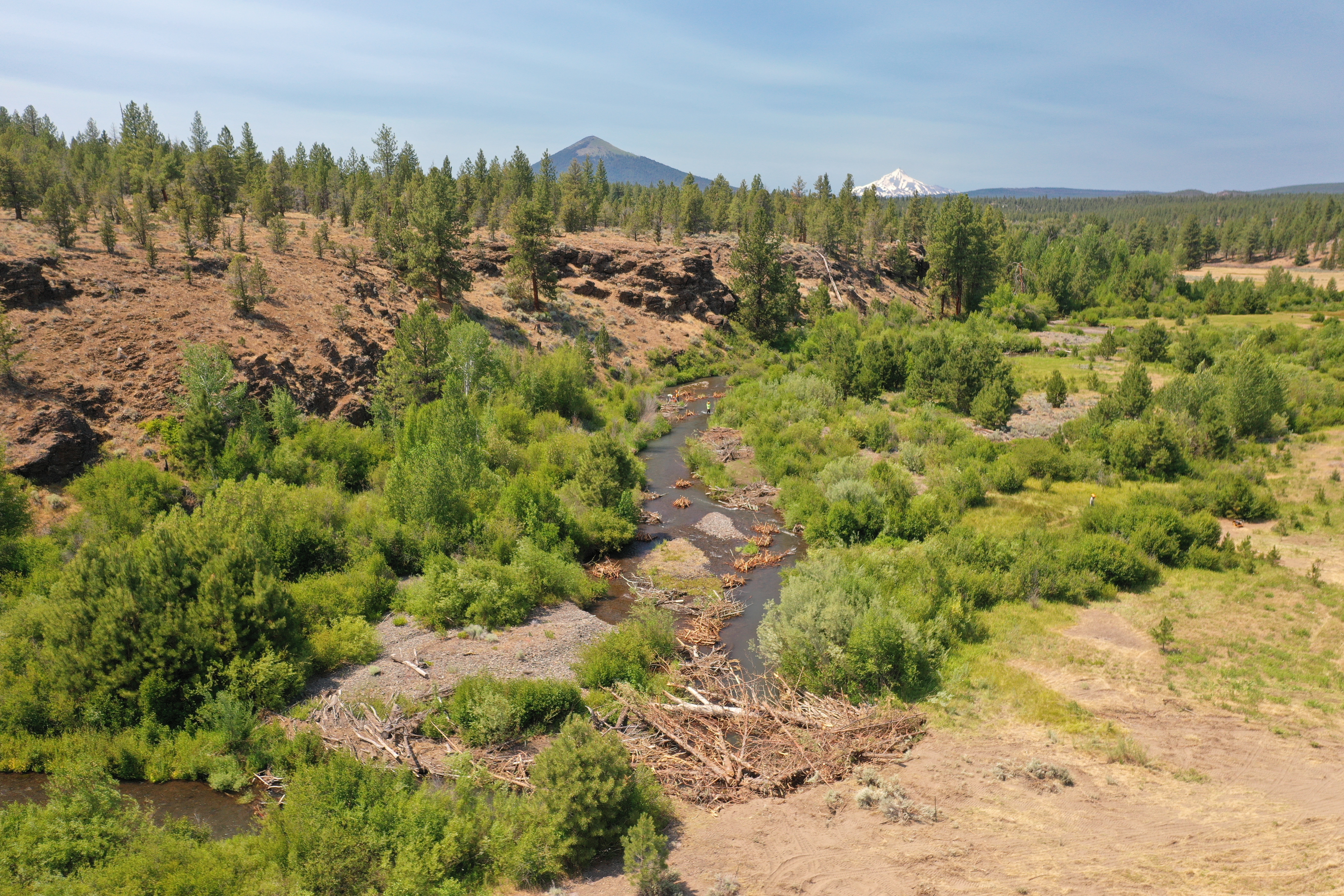
Willow Springs
Demo project on Wychus Creek in Sisters, Oregon. This project was curated to explore how QRIS stores and organizes multiple phases of Designs, As-Builts, and DCEs.
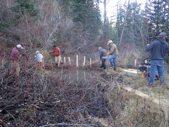
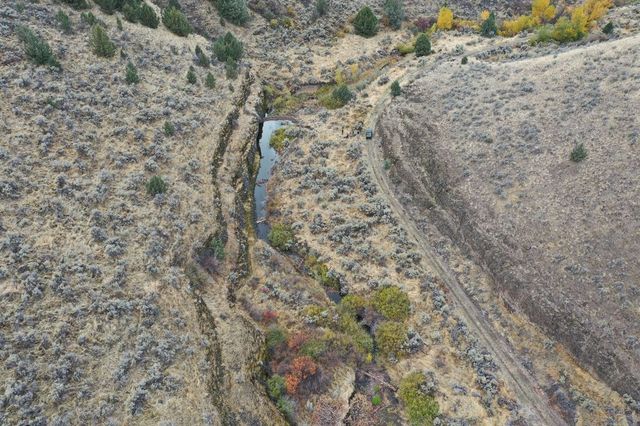
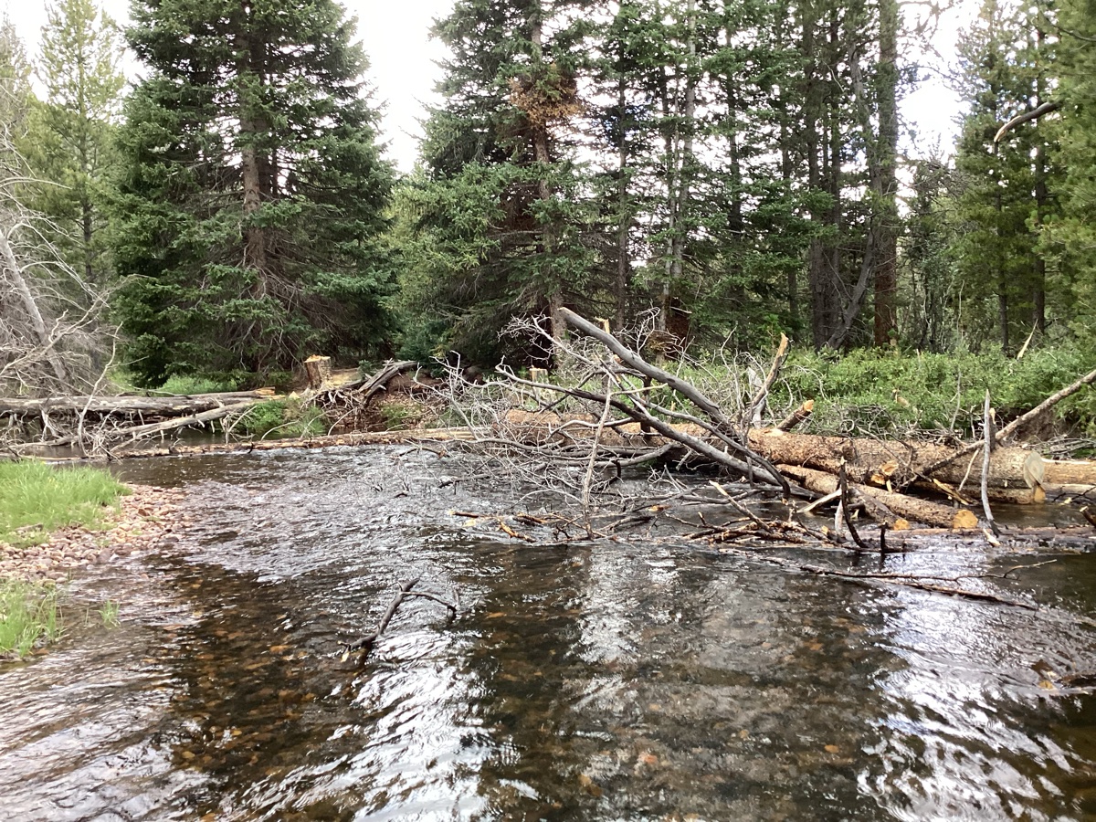
Birch Creek
Demo Project in Southern Idaho. This project spans many years with the goal of using beaver to return perennial flow to Birch Creek, a simple but effective example of organizing data and keeping track of a timeline in QRIS.
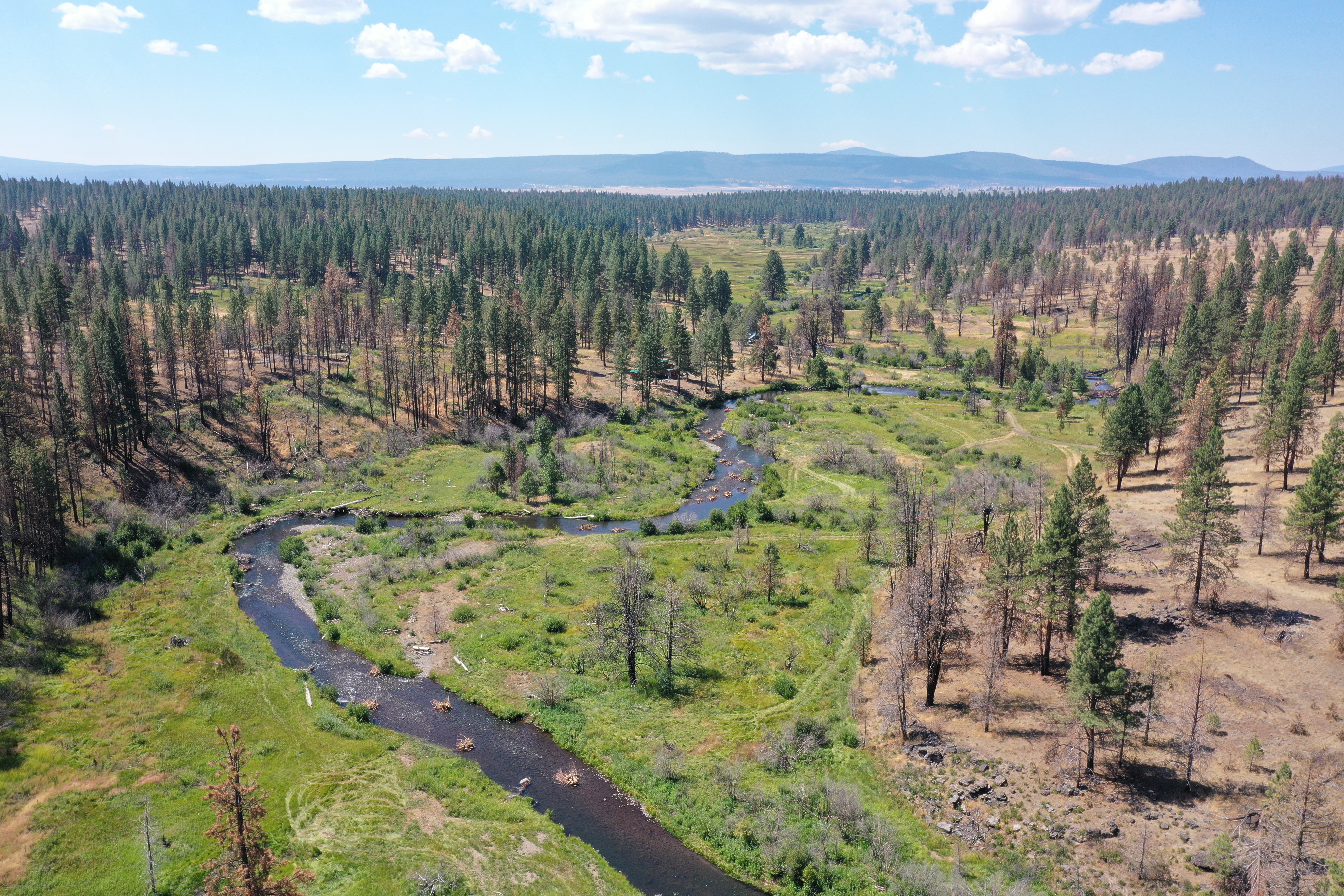
Upper Thirtymile
Monitoring project in Northeastern Oregon. This project was created to assess riverscape features from aerial imagery in June of 2019 and October of 2020 and compare riverscape changes at two reach locations (Irzik to Badger Canyon and Comstock Basin) after implementation in 2022.
Upper Bear
Demo project on Upper Bear watershed in northeastern Utah. This demo project shows different forms of monitoring at reach and watershed scales to calculate riverscape metrics.
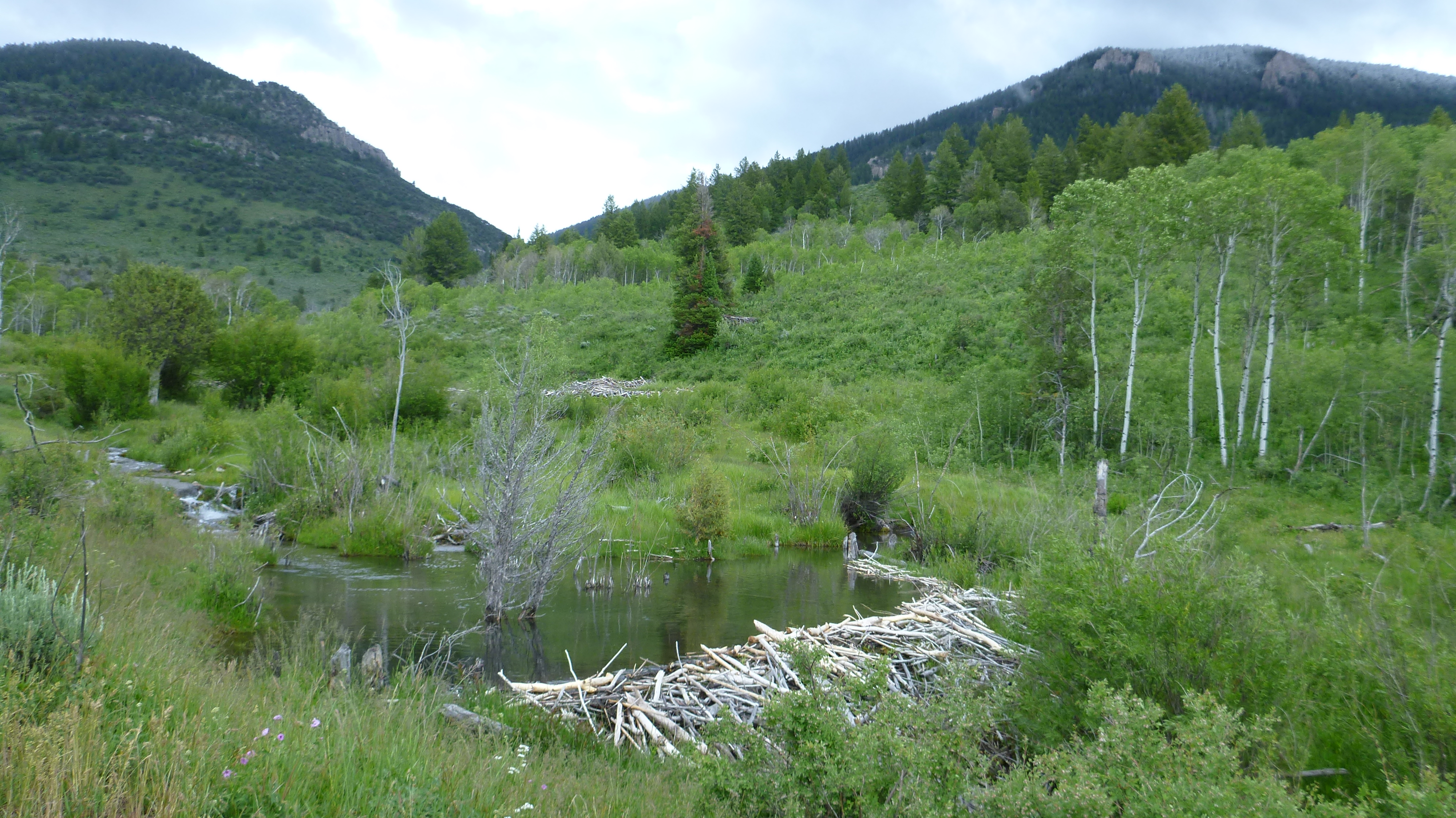
Spawn Creek
Demo project on Spawn Creek (tributary to the Logan River) inb Northern Utah. This project was created to track beaver dams over time after the introduction of a cattle exclosure.
Data Exchange
Browse Riverscapes Studio Projects in Data Exchange
Consuming Riverscapes Studio Projects
Riverscapes Studio Projects can be consumed in a few different ways.
- First, they can be viewed in any of our Riverscapes Viewers (web browser on Data Exchange, or in ArcPro or QGIS). When consumed through the viewer, they are only viewable.
- They can also be opened as QRiS projects with the QRiS plugin in QGIS. This allows you to actually edit and add to the project. Whether you can upload changes back to the Data Exchange depends on your permissions. If you are not the owner of the project, you will not be able to upload changes back to the Data Exchange, but you can upload it as a new project of your own.