Digitizing in QGIS
Digitizing or editing is one of the most common tasks in GIS to produce vector data.
Key Concepts:
- In QRiS, we simply leverage built-in digitizing tools and toolbars of QGIS, to edit layers that are managed by QRiS through Data Capture Events.
- The symbology and attributes of the layers you edit from QRiS are controlled in protocols.
- The editing workflows are the same as editing or authoring any other vector layers in QGIS. And if you are new to QGIS, and coming from ESRI ArcPro, the workflows and tools are very similar.
Here are a few resources to help you with digitizting QRiS layers in QGIS.
Advanced Digitizing
Digitizing features in QGIS can be frustrating, but with the right toolbars and settings it becomes much easier. This video will cover some tools and tips to greatly reduce the time needed to digitize features in a QRIS project.
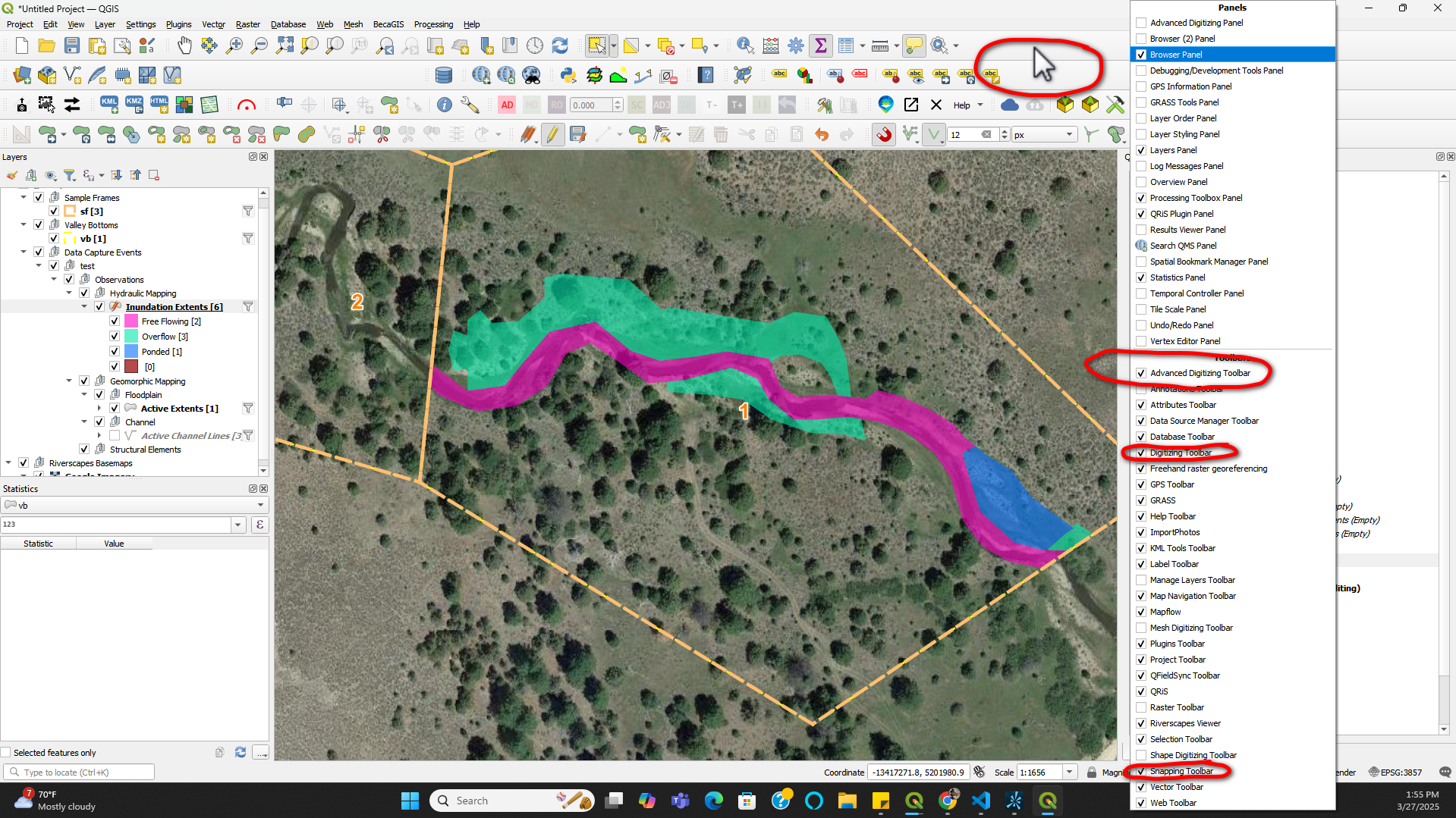
Below are the different toolbars that are covered.
![]()
![]()
![]()
These toolbars can be added by right clicking the open space indicated below.
Additional toolbar help can be found here.
Video demonstration
Digitizing Using Geoprocessing Tools
This video will show you how to use geoprocessing tools to digitize riverscape features in QRiS. These tools help streamline data collection processes & expedites digitizing of long (e.g., > 1 mile) riverscapes.