Getting Data into QRiS & Up to Data Exchange
Webinar Details
See Webinar Event Details on RC
December 2, 2024 Webinar - hosted by the Riverscapes Consortium
Webinar Sponsored By:
Webinar Presenter:

Description
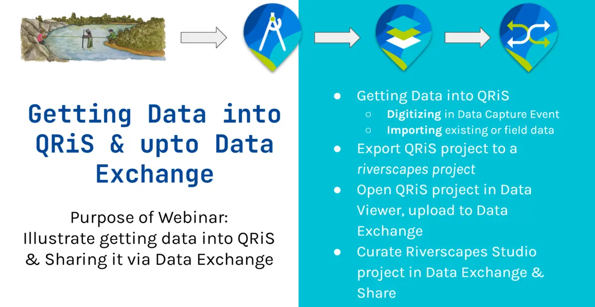
The purpose of webinar is to illustrate getting data into QRiS & Sharing it via Data Exchange. Below you can find the slides used, and a video of the 30 minute webinar.
Resources
Data Used in Webinar
This exercise was entirely made up (not real project data). Here are the resources used and created in the webinar:
PBR Explorer project
Inspiration PBR Explorer project (Cottonwood Creek) for webinar from BLM and NDOW
Geopackage & KMZ
Example KMZ and Geopackage feature class of 'existing' field data
Demo Riverscapes Studio Project
Riverscapes Project created in Demo and added to Data Exchange
Webinar Slides
Video Recording of Webinar
See also:
Importing Features
Command Reference
There are lots of situations where you may not want to draw (edit or digitize) your data from scratch in a QRiS project for a specific feature in a data capture event. For example, maybe you did a field survey with Survey123, or maybe you have some data in another feature class (e.g. a shapefile, geopackage, KMZ, etc.). You can right click on any feature class layer in a Data Capture Event in QRiS, and use the Import Features From command.
In the video below, we show an example of doing this from a temporary scratch layer. We also illustrate how to use the attribute mapper to preserve the attribute categories from the original layer, but map them on to the attribute categories used as part of the protocol in that QRiS feature class.